The Route
what3words for start point: ///words.march.along
Start Point: Walsden, near Todmorden, OL14 6JJ
Finish Point: Same as start point (circular walk)
Distance: Approximately 4.5 miles (7.3 kilometres)
Walk Description
Starting Point: Walsden, near Todmorden, OL14 6JJ
Key Highlights:
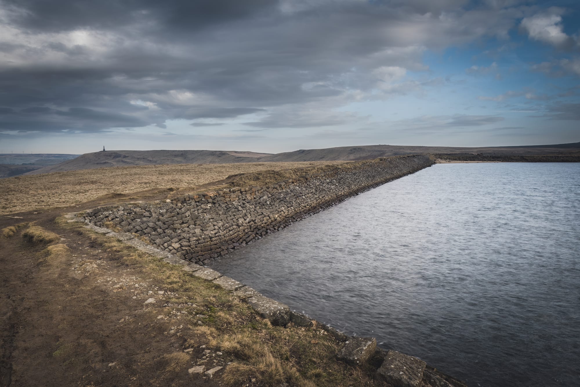
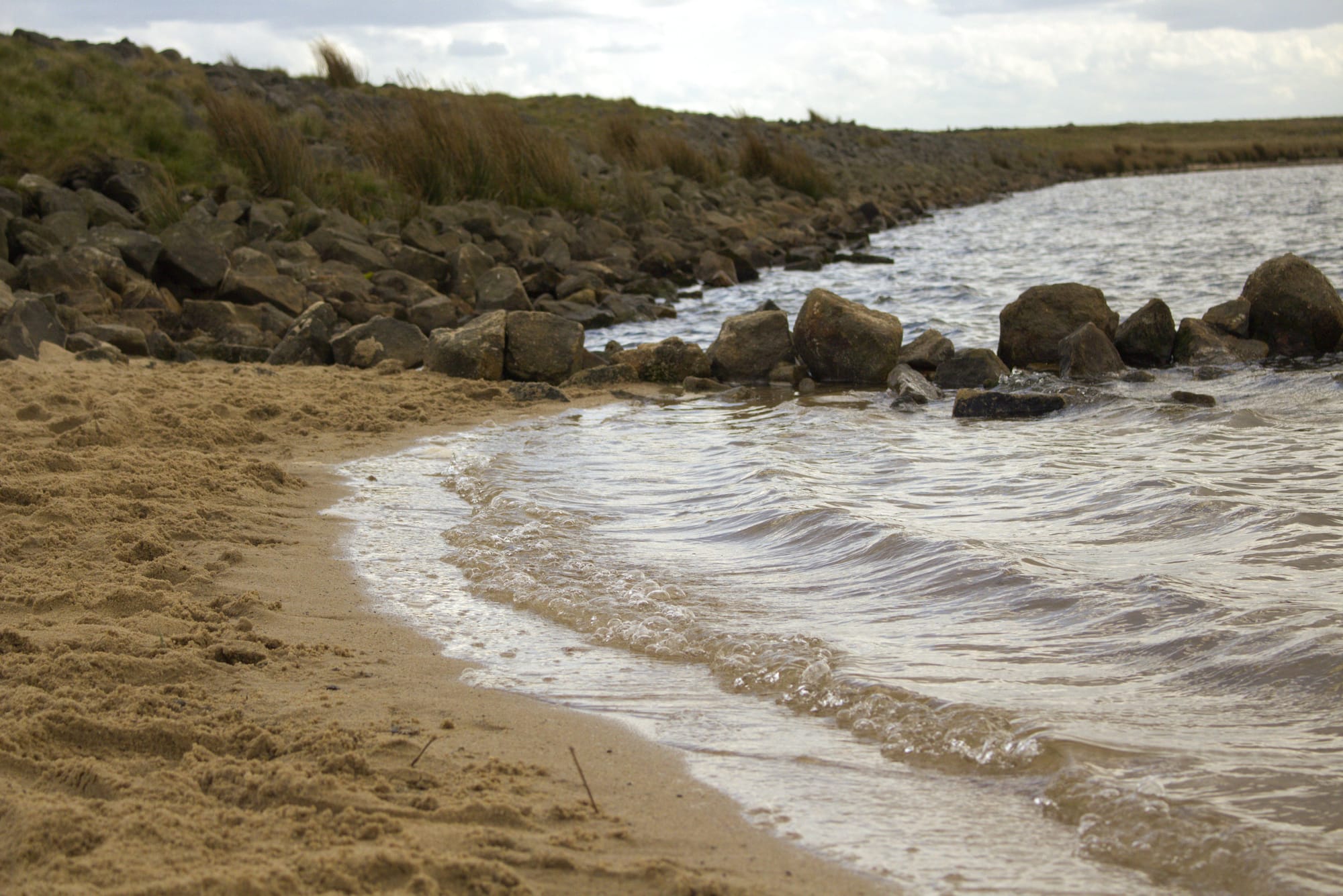
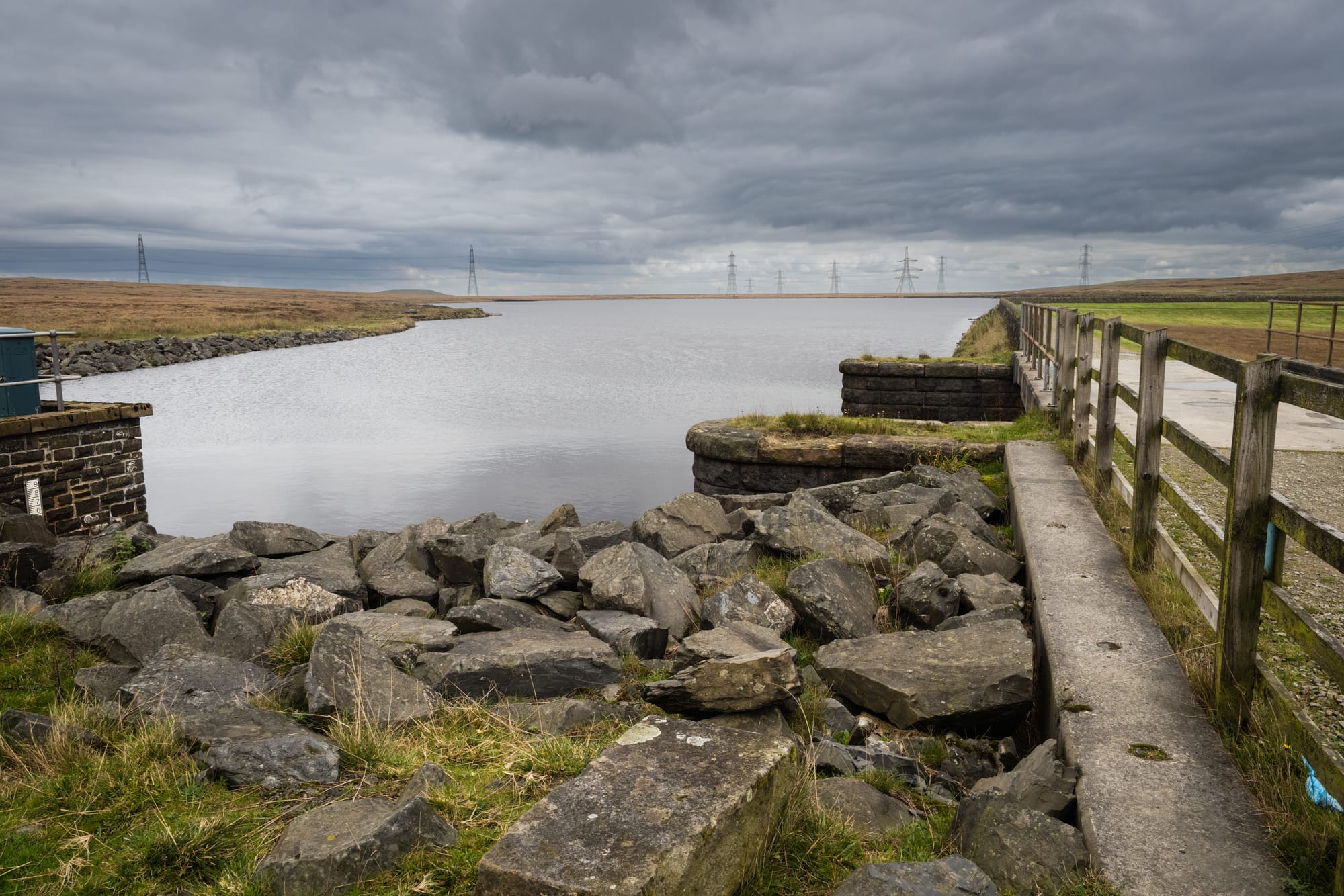
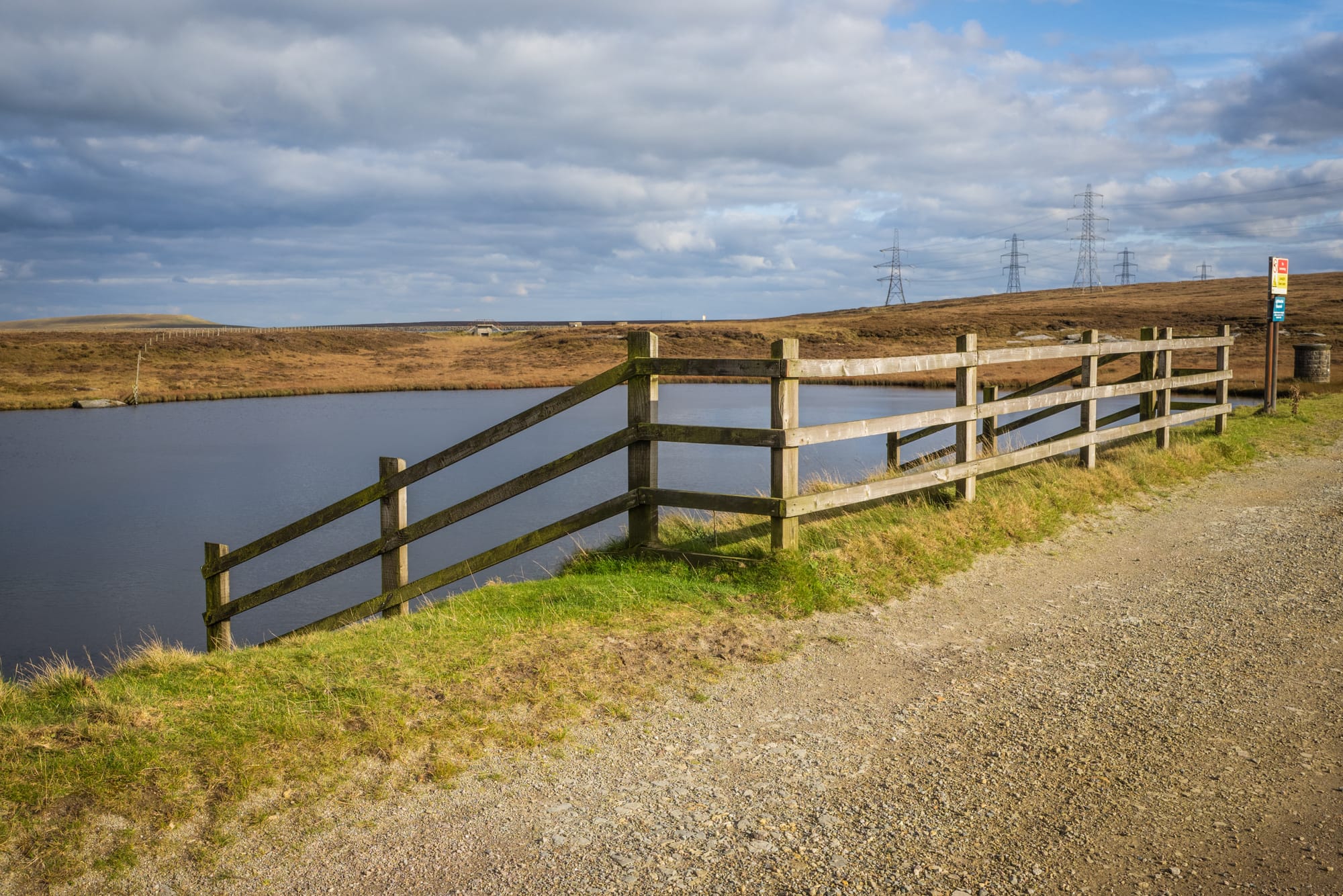
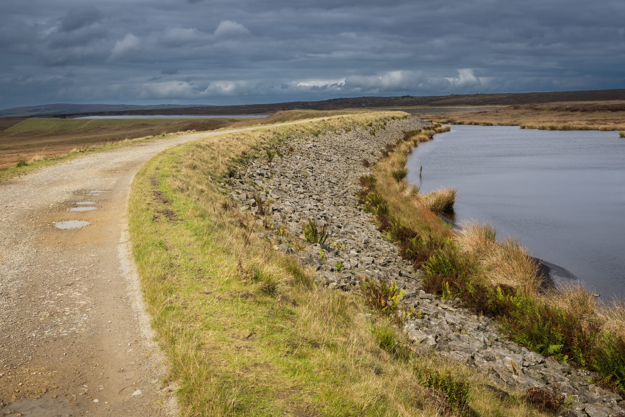
- Gaddings Dam: Known as England's highest beach, this disused reservoir offers a unique wild swimming spot with fantastic views of the surrounding moorlands.
- Scenic Views: Panoramic vistas of the Calder Valley and the nearby Stoodley Pike Monument.
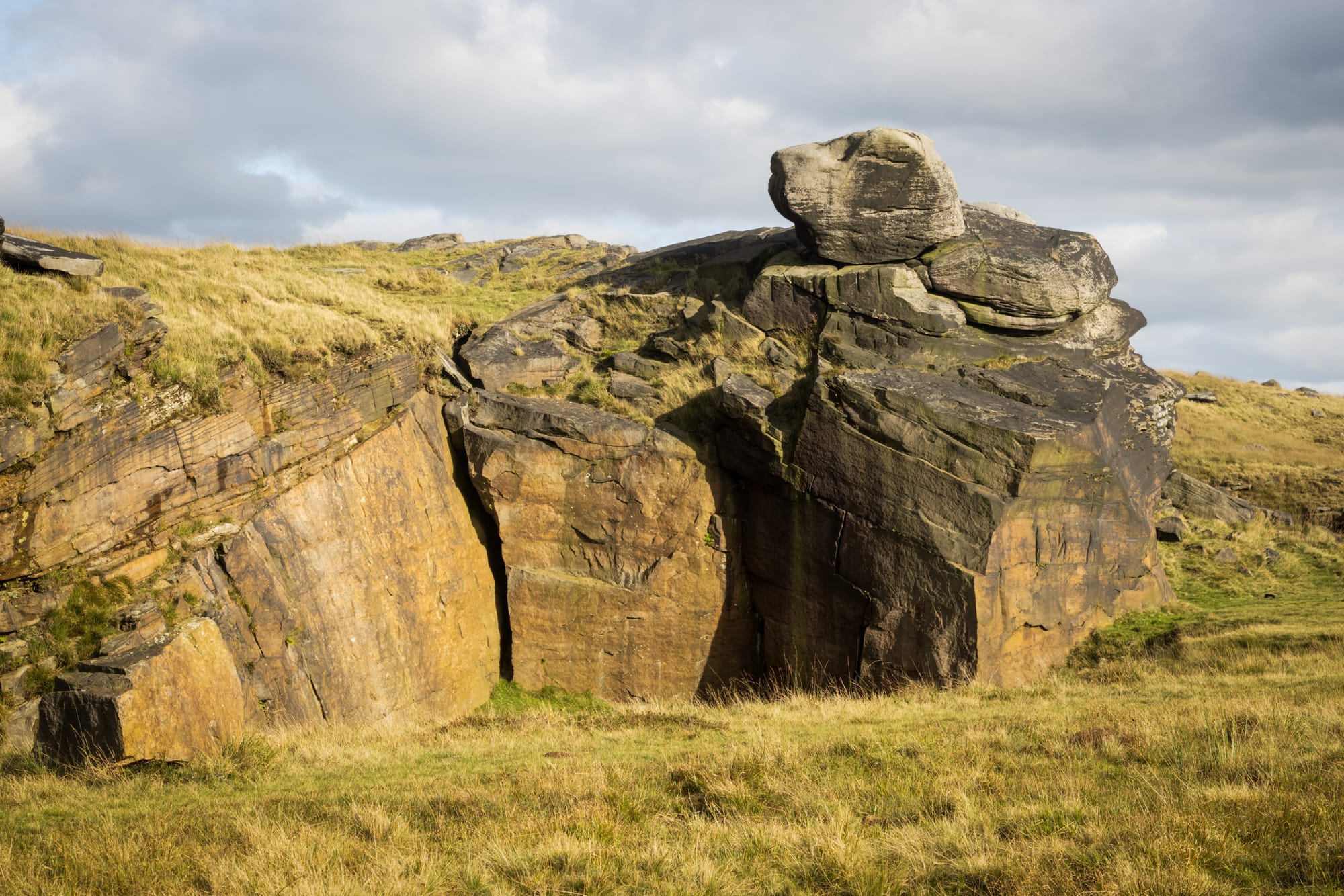
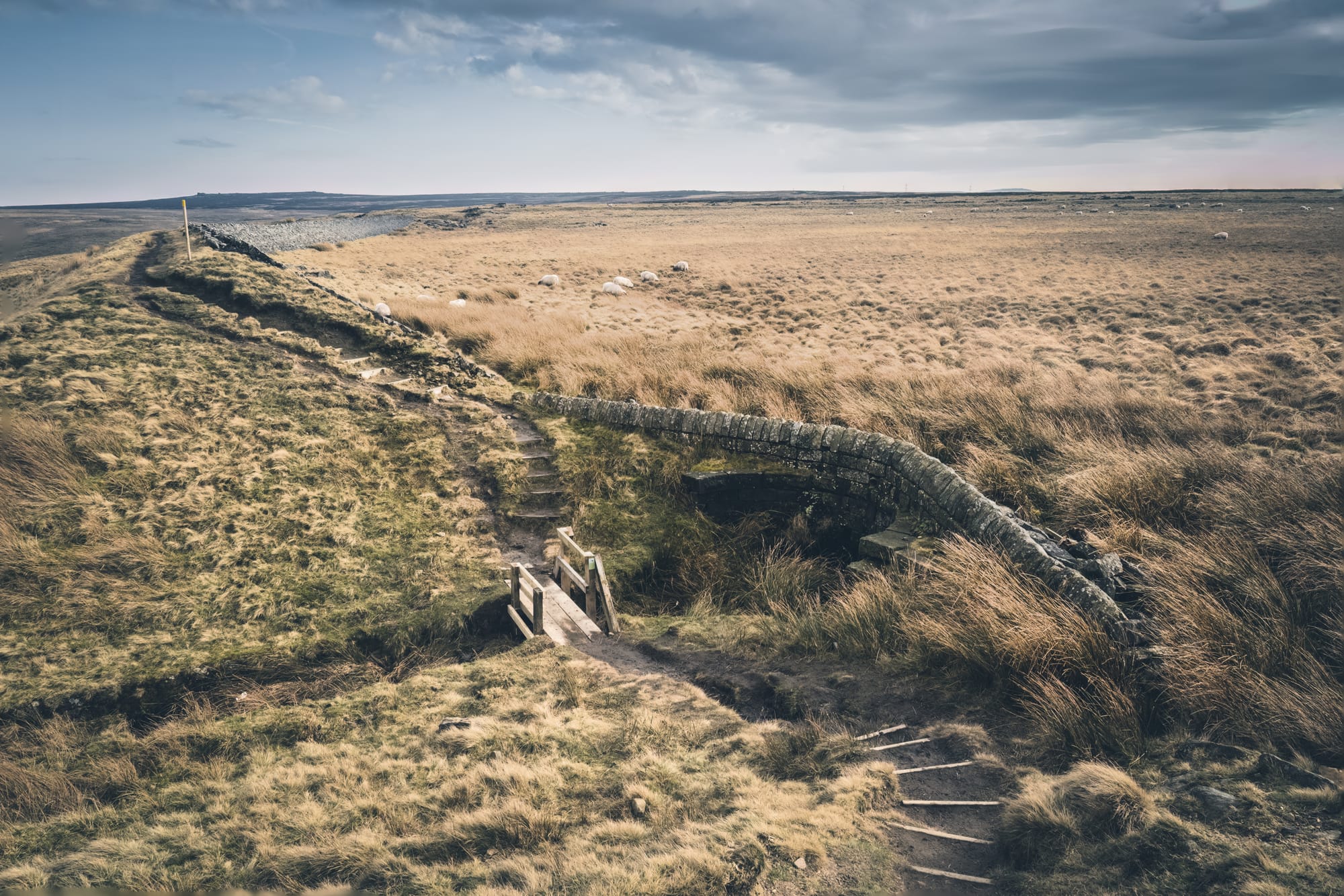
- Historic Trails: Paths through picturesque moorland, including some steep and rocky sections.
End Point: Walsden, near Todmorden
Practical Information
Distance: Approximately 4.5 miles (7.3 kilometres)
Difficulty: Easy to medium – includes some steep and rocky sections, with potentially boggy terrain in wet conditions.
Terrain: Mixed terrain with country roads, public footpaths, and steep footpaths. Can be boggy and slippery, especially after rain.
Access:
- By Car: Parking is available on side streets in Walsden near Gordon Rigg’s Garden Centre.
- Public Transport: Walsden is accessible by train, making it easy to reach the start point without a car.
Gallery
Tips for Walkers
Footwear: Sturdy walking boots with good grip are essential due to uneven and potentially boggy terrain.
Supplies: Bring water, snacks, and sun protection. There are no facilities at the dam, so be prepared for a remote experience.
Navigation: The route is straightforward but having a map or GPS can be helpful. Follow the yellow top posts to reach Gaddings Dam.
The Gaddings Dam walk offers a unique experience with a hike to England’s highest beach.
Starting from Walsden, this 4.5-mile circular route takes you through scenic moorlands to the disused reservoir, now a popular wild swimming spot.
Enjoy the stunning views and the tranquil atmosphere of this hidden gem in the Yorkshire moors.